Product & experiment / Live app · Google sign-in
Trajectory Planner
Plan UAV missions over real terrain
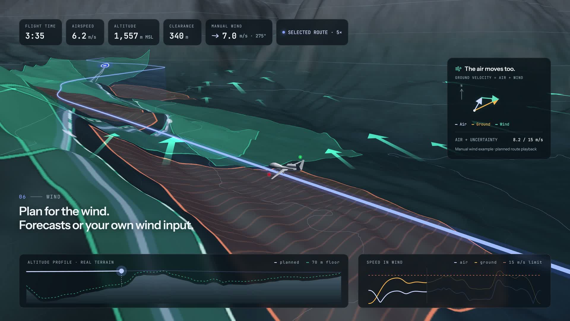
Place waypoints in 2D or 3D, review obstacles, terrain clearance and forecast wind, and generate a smooth trajectory. Save your projects and return to refine them.
- Terrain & obstacles
- Clearance & wind
- Saved missions
How it works
Set your route and waypoints on the map, draw or import obstacles, then review flight limits, terrain clearance and forecast wind. The planner constructs connected corridors and optimizes a smooth Bézier trajectory inside them. Inspect the altitude and flight analysis before saving or exporting your mission.
Wind is a forecast estimate. Planning results require flight checks and do not constitute operational approval.
Plan UAV missions on real 2D and 3D maps. Add waypoints and obstacles, review terrain clearance and forecast wind, then generate and inspect a smooth trajectory. Save your plans to continue later.
Share this tool: aeronautyy.com/tools/uav-trajectory-planner